Project |
Caspian Sea Saddle survey |
Year |
2017 |
Client |
Blue Water Shipping |
Contract |
Plan, execute and map a multibeam survey over shallow water location in the shippig lane |
|
|
|
Synopsis |
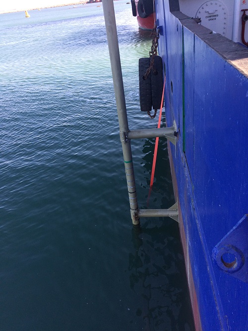
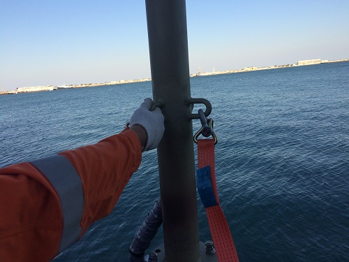
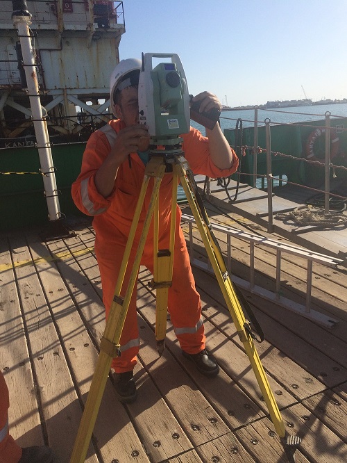
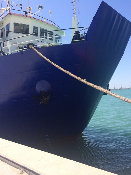
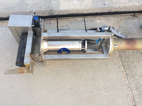
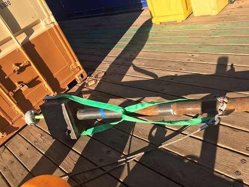
For the Tengiz 3GP project, large modules would be transported over the Caspian Sea to Prora Port. CSGeo performed a high resolution bathymetric survey over an area of more than 70NM to map and confirm the shallow locations. Because of the challenging logistics and shallow water, the survey was executed with the MV Caspian Maria over a period of one month. A special shallow water multibeam head was imported from the Netherlands to accomodate the survey requirements. Before the start, the equipment was installed in Bautino port and calibrated during two test runs. On board the survey vessel a internet system was installed for communication to the shore. On location, three local tidal systems were installed over the whole length of the survey area. A survey crew of three day shift and two night shift were placed onboard the survey vessel during the 24 hour operations. The data was send to the office three days and reported to the client during the progress meetings. The planning was adjusted based on the findings and the weather/wave forecast. |
|
|


