SILAS 3D Cable and Pipeline detection system
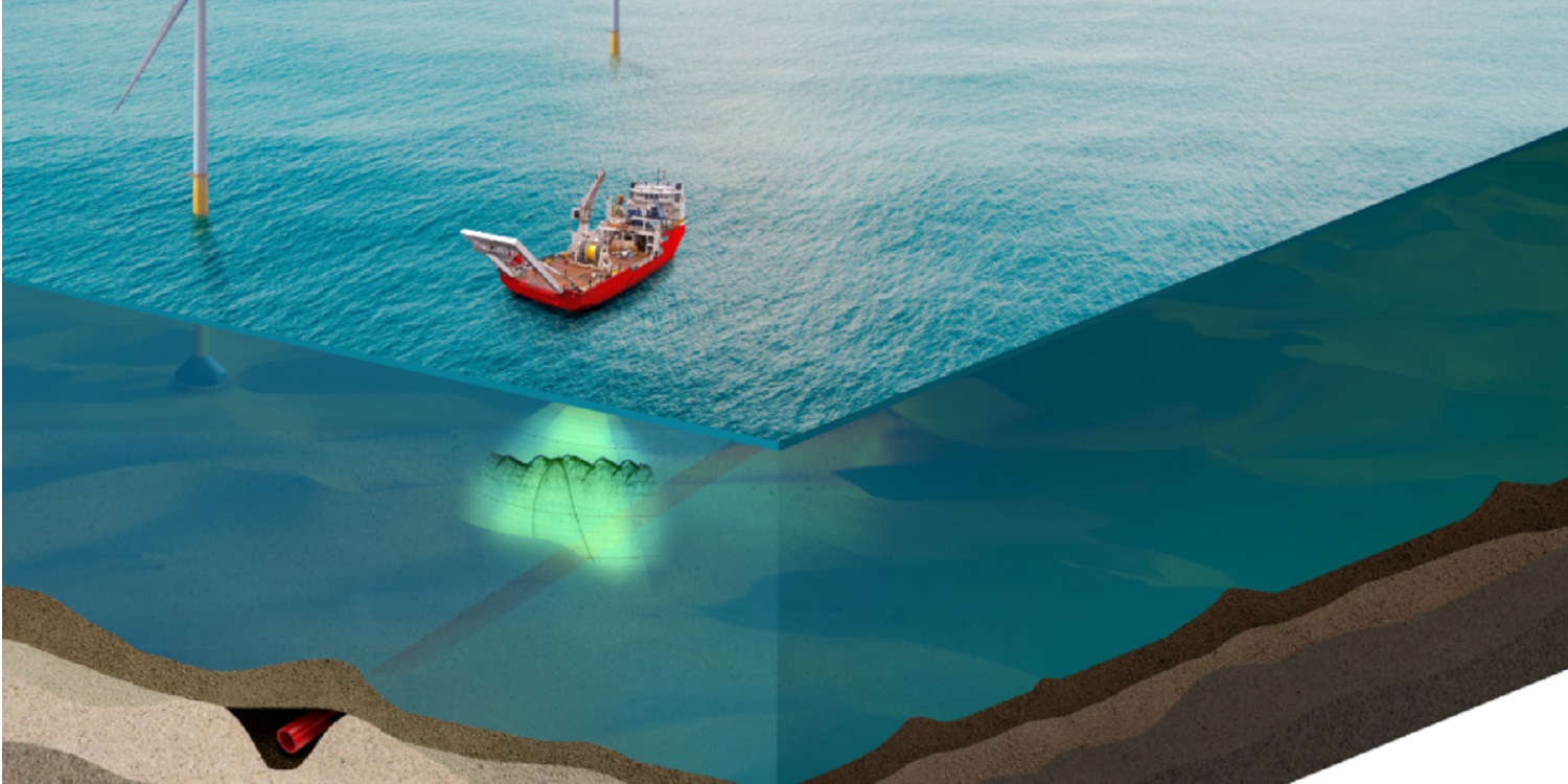
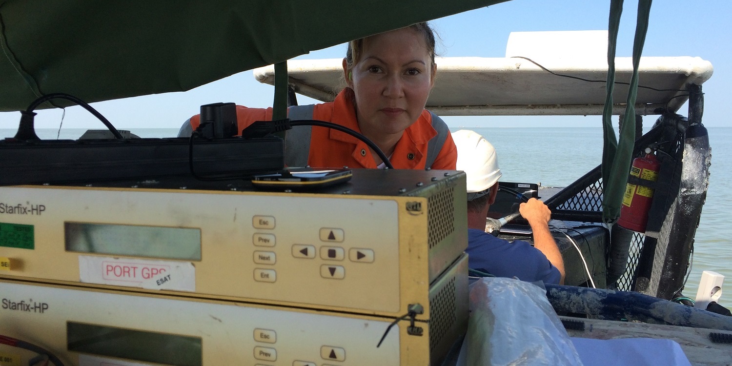
Silas 3D is a 2D and 3D seismic system, which is able to detect linear objects as (power)cables and pipelines and gives the depth of burial or depth of cover. It is a passive system, which does not require any physical connections to the cable, assuring full operational and safe functionality of the cable or pipeline during detection.
The Silas 3D processing package enhances the high resolution data acquired from the EBP system by integrated processing techniques and applies an automated contact recognition technique. The contact recognition consists of the automated determination of top of contact (Semblance of apex of hyperbola) and power of hyperbola.These two parameters are used to classify the detected objects and perform a quality check on the returned signals.
Components:
Silas 3D is a complete suite for detecting offshore buried objects. The system consist of three main components:
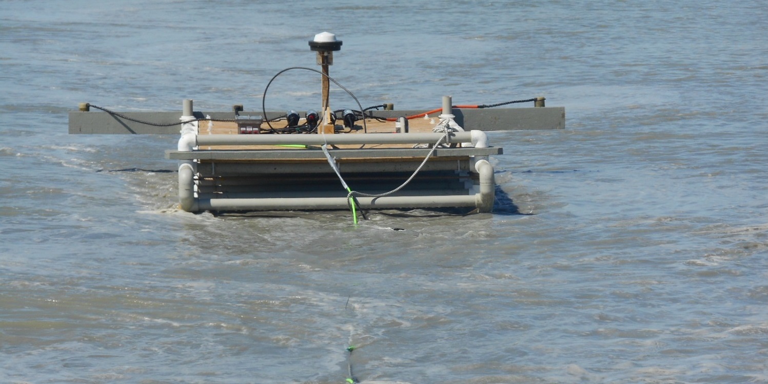
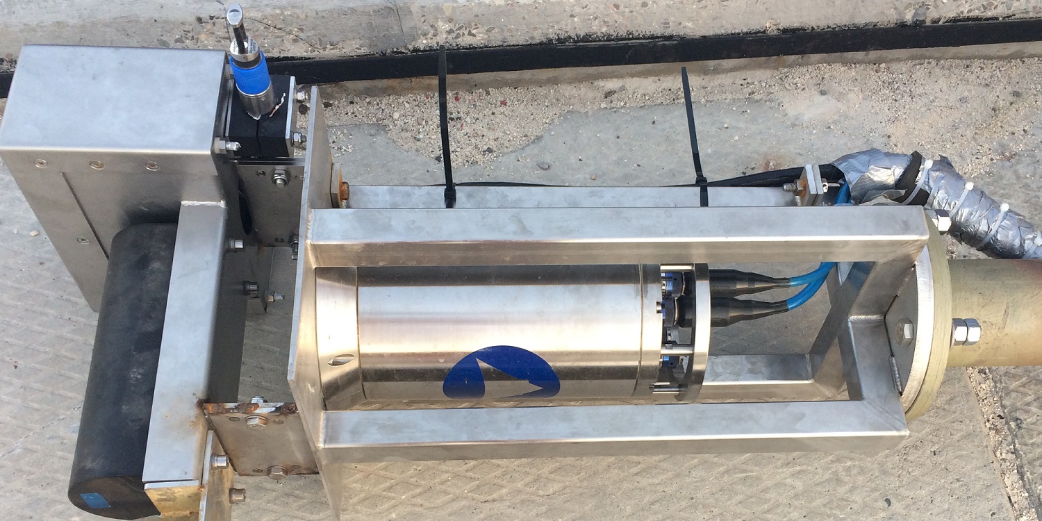
- Transducer array: The signal source consists of multiple transducers on an array of hydrophoneswhich will be used in a dedicated frequency setup, configuration and geometry which is optimized for the buried object detection;
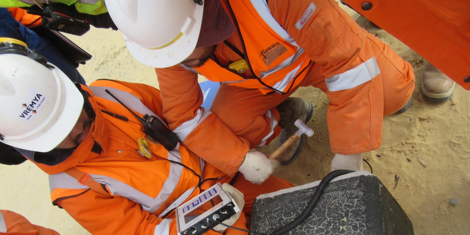
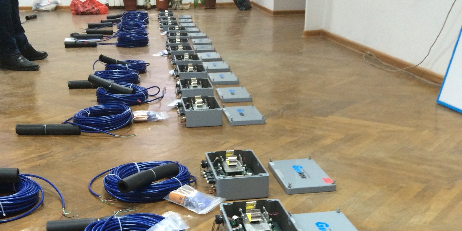
- Transceiver and USB AD Card: The transceiver actually generates and sends the seismic signal to the transducer array. The USB AD Card receives the amplified seismic signal from the transceiver and transfers it in a high resolution digital form to the seismic acquisition PC or laptop.
- STEMA Silas Software: This high resolution seismic package consist of Silas 3D acquisition software and Silas processing software with a specifically designed cable/pipe line detection module. The contacts, which are automatically registered by the system, are translated via Silas 3D in a display of a clear hyperbola. SILAS 3D recognizes these contact points and presents the user with a marking of the object for further analyse.
Deliverables:
The survey results are presented in an interpretative report in PDF format. The base language of the report is english, although it can also be delivered in Russian, Kazakh or Dutch. The report will consist mainly out of a plan view with track lines, depth of burial and contacts. Addtional third party data like SSS, multi beam, magnetometer and GPR data can also be integrated and analysed to validate the contact results. The digital data can be delivered in dxf, dwg, ASCII, Geotiff, PDF and Excel.


